
By David South, Development Challenges, South-South Solutions

Powerful new grassroots crowd-mapping tools have sprung up in the past few years across the global South, from Brazil’s Wikicrimes (www.wikicrimes.org) real-time crime mapping technology to the now famous Ushahidi (http://ushahidi.com) – a non-profit company making the free and open source Ushahidi software for information collection, visualization and interactive mapping – from its base in Kenya. They share some common features. All draw on the widespread use of mobile phones in the global South combined with growing access to the Internet, either through 3G mobile phone services, WiFi wireless connections, Internet centres or increasingly available broadband Internet services.
They then connect the mobile phones to the new mapping services available either on the phones or on the Internet. One example is Google Maps (http://maps.google.com).
These mapping services are revolutionary in what they bring to poor communities. They allow people to quantify in real time what is happening in their area, as well as see what is happening around the world. Where in the past this sort of mapping and statistical data collection was chiefly the domain of government departments and private services for wealthy corporations, individuals can now participate in the collection of data and map what is happening in their area. This can include mapping actual crime as it occurs, or slum-mapping, where a visual snap-shot of a slum area is made to better target aid and development.
This is a game-changer for human and sustainable development. It has the potential to close the gap between the collection and analysis of data and action. Accurate, real-time data makes it easier to push government agencies to deliver on their promises, especially during a crisis.
Kenya’s eMazingira website (www.emazingira.org) is showing the difference these tools can make. It allows people to identify potentially destructive practices that harm the environment – unregulated forestry, pollution, dangerous animals, land degradation, climate change – and alert others to what is happening. This level of awareness, it is hoped, will in time reduce the destruction of local environments and improve the quality of life for both humans and wildlife.
Mazingira means “environment” in Swahili. The website’s motto is “Keeping the environment clean for the future generation”.
The eMazingira website is a visually simple affair with a leafy banner image and an interactive map showing what is happening. It is in its first iteration and future upgrades are on the way. A rolling list of incidents keeps readers briefed on what is happening, from “Fire burning” to “Sewer burst” to “Rogue elephant”. There are five main categories to choose from and users can file reports by text message, email, sending a Tweet (www.twitter.com) or filling in an online form on the website.
“We got to know about Ushahidi during its first deployment which was in Kenya, when it was used to map post-election violence incidents in early 2008,” explains Dunston Machoka, director of BTI Millman Limited (www.btimillman.com) inNairobi,Kenya, a custom software development firm leading the project.
“We were inspired to develop eMazingira, on one hand, because of the passion we had for environmental conservation and on the other hand, from the success stories we had observed of Ushahidi deployments inKenya,HaitiandJapan.”
Machoka believes this is a critical time forKenya’s environment: “eMazingira comes at a time when environmental conservation is a huge concern inKenya. Our key observation was that there was no effective reporting mode for environmental incidents for citizens.”
The website hopes to better engage citizens in tackling the country’s environmental problems and sees this as a way to spur further government action.
One of eMazingira’s proudest moments came when it won the World Summit Youth Award as the 2011 Runner Up for the use of ICT towards attaining the United Nations Millennium Development Goals.
But how easy is it to work with this technology? Machoka advises those starting out to turn to the Ushahidi team for support.
“I would advise them to get in touch with the Ushahidi team through their website and by doing so the deployment will be easy, fast and there will be adequate assistance in case of any challenges,” he said.
For the next two years, eMazingira will be focusing on rolling out the service to the country, from the main towns to rural areas.
“At the end of the period we hope to start similar programmes in East Africa based on the lessons learnt inKenya,” confirms Machoka.
And that isn’t where the eMazingira story will stop: its creators also want to deploy the technology globally, if countries have the right conditions.
“The key necessity for the application would be good mobile and Internet infrastructure and government that can promote citizen participation in environmental conservation,” Machoka said.
Published: December 2011
Resources
1) With less than five years until the 2015 deadline to meet the Millennium Development Goals, any tool that can make development decisions more precise is a benefit. Website:http://www.undp.org/mdg
2) The Map Kibera project uses an open-source software programme, OpenStreetMap, to allow users to edit and add information as it is gathered. This information is then free to use by anybody wanting to grasp what is actually happening in Kibera: residents, NGOs, private companies and government officials. Website:http://www.openstreetmap.org
3) NGO called Rede Jovem is deploying youths armed with GPS (global positioning system)-equipped (http://en.wikipedia.org/wiki/Global_Positioning_System) mobile phones to map the favelas of Rio de Janerio. Website: http://www.redejovem.org.br
4) Mobile Active.org: MobileActive.org is a community of people and organizations using mobile phones for social impact. They are committed to increasing the effectiveness of NGOs around the world who recognize that the over 4 billion mobile phones provide unprecedented opportunities for organizing, communications, and service and information delivery. Website: http://www.mobileactive.org

https://davidsouthconsulting.org/2020/12/04/big-data-can-transform-the-global-souths-growing-cities/
https://davidsouthconsulting.org/2020/12/11/cyber-cities-an-oasis-of-prosperity-in-the-south/
https://davidsouthconsulting.org/2022/02/17/digital-mapping-to-put-slums-on-the-map/
https://davidsouthconsulting.org/2022/10/31/mapping-beirut-brings-city-to-light/
https://davidsouthconsulting.org/2021/03/31/new-weapon-against-crime-in-the-south/
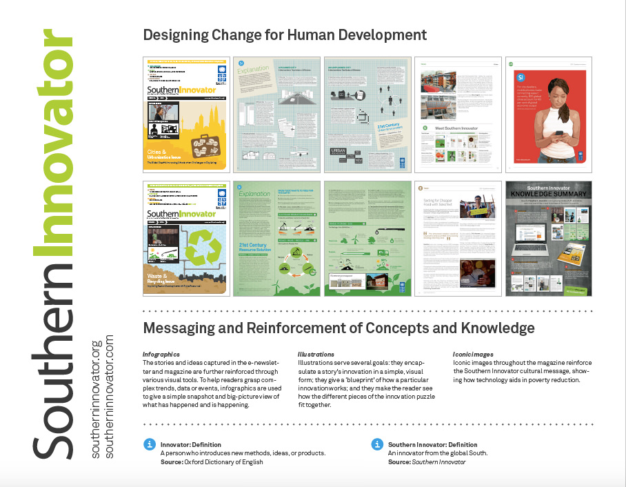
Development Challenges, South-South Solutions was launched as an e-newsletter in 2006 by UNDP’s South-South Cooperation Unit (now the United Nations Office for South-South Cooperation) based in New York, USA. It led on profiling the rise of the global South as an economic powerhouse and was one of the first regular publications to champion the global South’s innovators, entrepreneurs, and pioneers. It tracked the key trends that are now so profoundly reshaping how development is seen and done. This includes the rapid take-up of mobile phones and information technology in the global South (as profiled in the first issue of magazine Southern Innovator), the move to becoming a majority urban world, a growing global innovator culture, and the plethora of solutions being developed in the global South to tackle its problems and improve living conditions and boost human development. The success of the e-newsletter led to the launch of the magazine Southern Innovator.

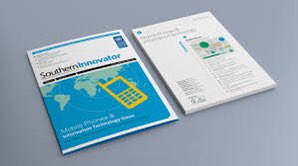


https://davidsouthconsulting.org/2021/03/05/southern-innovator-issue-1/

This work is licensed under a
Creative Commons Attribution-Noncommercial-No Derivative Works 3.0 License.
ORCID iD: https://orcid.org/0000-0001-5311-1052.
© David South Consulting 2022


You must be logged in to post a comment.